

- Time: 8.30 hours
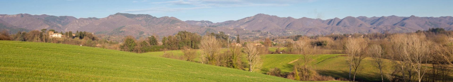
- Highest altitude: Giogo di Corella (1121 m.)
- Highest ascent: 720 m
- Rest stops along the way: three unattended shelters on the crest
- Suggested times: all year round except in the presence of snow and mud.
- Difficulty: E (excursionist)
- Stop: Castagneto (San Godenzo) La bottega dei gaudenti
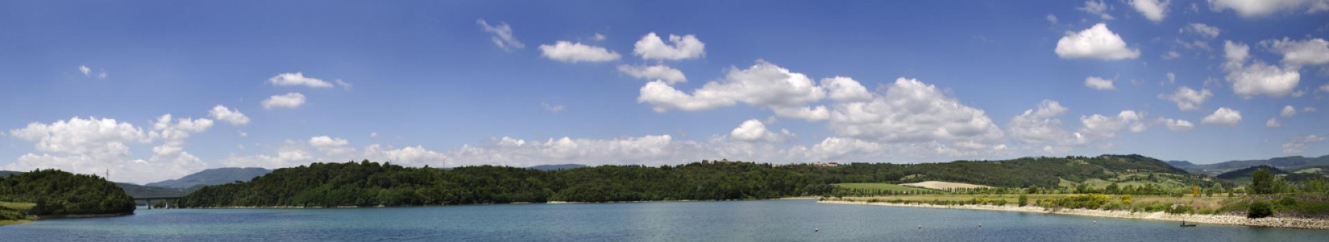
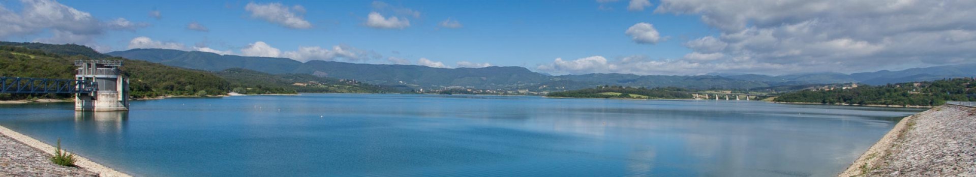
- Train: Crespino sul Lamone Station (three hours from Casaglia)
- Bus: Casaglia and Muraglione
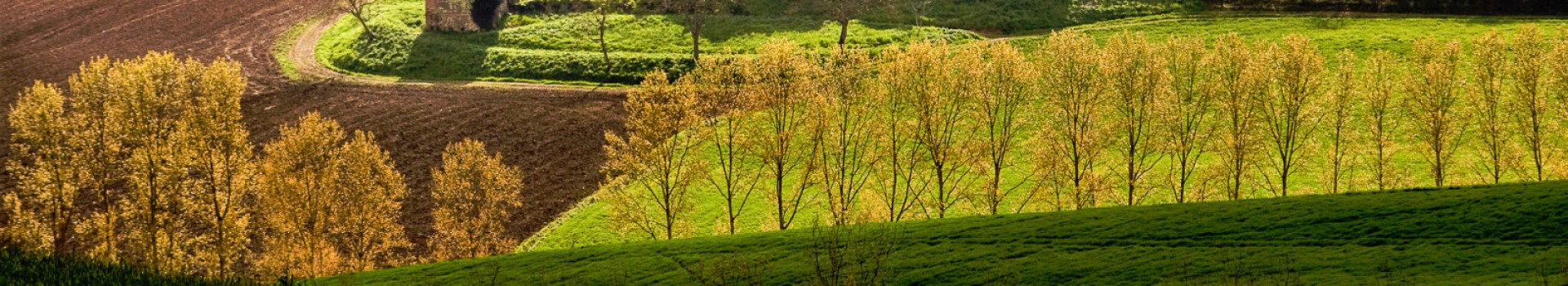
Difficult trail on the ascent to Poggio Allocchi, easy and panoramic along the ridge.
From the town of Casaglia we move along n. 302 towards Marradi and take, some 300 metres later, the trail that crosses the bridge over the Lamone River.
We move right along the river briefly before entering a field. We run a short tract of bridle trail and then start to climb through ferns and traces of a trail until we reach the top of Poggio degli Allocchi (1019 m).
ALTERNATE MTB TRAIL
By MTB we reach Poggio Allocchi in another, easier way. From Casaglia, we travel to Colla di Casaglia along the road, just past the pass we take trail n.34 on the left and then n. 32 until we reach Case Riseccoli. We continue on a bridle trail until we reach a beech wood on the crest. Continuing on trail n.32, we cross the woods. Just a short time later we reach trail 00 and continue right along the grassy ridge of Giogana to Poggio degli Allocchi.
Here the trail meets “00” RET, which turns left towards Poggio Castellina (1102 m).
Passing n. 28 trail to Gattaia, past Poggio Castellina, the trail climbs and falls slightly and, ignoring the SOFT Ring n.18 that comes from Villore on the right, touches the Alpe di Vitigliano (1117 m) reaching the passage in front of Poggio al Tiglio. Ignoring both trail n. 537 and n. 24, we continue to the top briefly climbing along n. 00 , which leads to Poggio al Tiglio (1111 m) . The trail crosses first n. 20 RET (SO.F.T ring n. 18) and then n. 18 to Villore. At the Porcellecchi antenna, where we find the n.20 ring to Campigno (n. 541 ) and later the n. 16 RET to Ampinana (SOFT ring n. 21), we climb to Giogo di Corella (1121 m) . From here the trail dips right on trail n. 12 to Corella (SOFT ring n. 21), and takes a left along trail n. 501 to Monte Lavane (SOFT ring n. 20). Continuing along 00 we reach Colla della Maestà (1040 m). From Colla to get to the rest stop in Castagnato we take trail n.10 on the right, while continuing along 00 we reach Poggio Erbolini (1053 m), Colla dei Lastri (920 m.) and finally the Muraglione Pass (907 m).


