

- Time: 8 hours
- Highest altitude: Monte Gazzarro (1125 m.)
- Highest ascent: 1050 m
- Rest stops along the way: Passo della Futa - Passo del Giogo
- Suggested times: all year round except in the presence of snow and mud.
- Difficulty: E (excursionist)
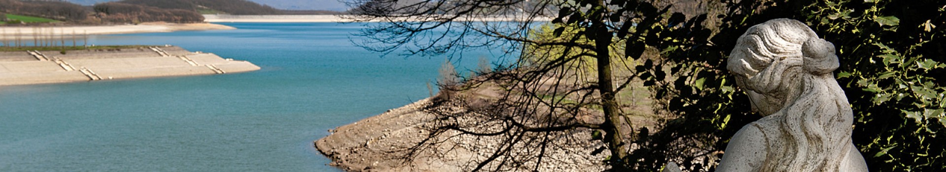
- Stop: Badia di Moscheta
- Bus: Passo della Futa, Monte di Fò, Passo del Giogo, Rifredo
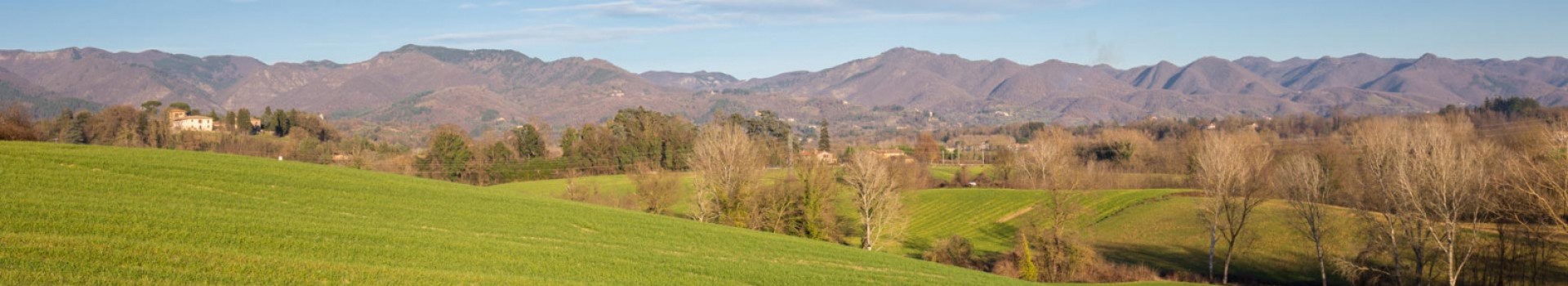
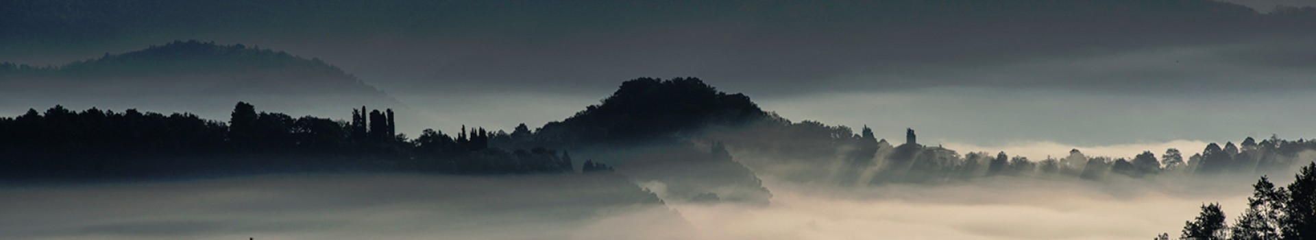
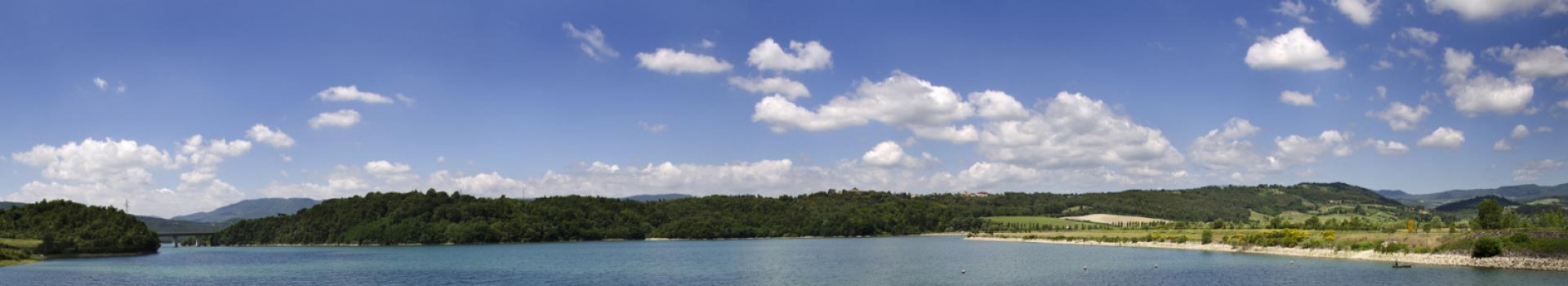
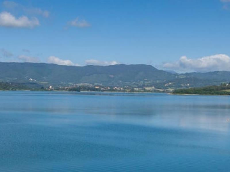
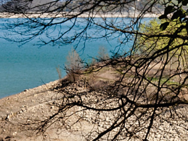
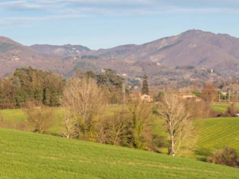
Tough trail that can be run only in favourable climatic conditions. It coasts the ridge in view of beautiful scenery among beech coppices and vast open stretches. The trail becomes easier once past the Giogo pass and onto wide forestry roads and dirt trails.
From the Monte di Fò Campsite (764 m.a.s.l.) we travel up for 370 m. Along a dirt path in the direction of the Futa Pass and continue left along an old dirt road called Via Napoleonica.
This road crosses trail n.52 and reaches the regional road near the locality of Apparita.
We cross the road in front of a farmhouse and climb up a dirt path for roughly 150 m. until we reach a gate which we pass through continuing along a narrow road until we meet trail n. 00, which leads to the Futa Pass.
We continue right towards Mount Gazzarro (1125 m.a.s.l.) where we find a huge cross.
We suggest the tract of GEA which avoids the summit and moves down on the south side of the mountain.
We enter trail n. 50 which, on the left, leads to Parecchia and the Osteria Bruciata Pass where it meets the main ring.
Leaving trail n.46 on the right, and trail n.723 on the left, we climb to the summit of Mount Faggio all’Ombrellino (1056 m.a.s.l.).
We continue up and down along the ridge of the mountain leaving ring 13 and trail n. 44 behind.
ALTERNATE MTB TRAIL
An alternative route for MTB moves along a brief tract of trail n. 44 RET and then turns right at the first fork in the road onto the trail that leads to the dirt path that comes from Vitartali. Along this route, moving left, we easily reach the state road just under the Giogo Pass.
We move keeping the summit of Mount Castel Guerino (1117 m.a.s.l.) on our right and move down again ignoring the trail on the left that dips in the direction of a Forestry Hut, and then climb up to Poggio Roncolombello (1016 m.a.s.l.), reaching the summit of Mount Piaggione (1041 m.a.s.l.) and the Giogo Pass (882 m.a.s.l.) near the restaurant.
From the Pass, we take the state road right and some 30 metres later take a forestry road on the left. After crossing a gate, roughly 1 km later, we continue along 00, ignoring the roads to Grezzano (SOFT ring 14), reaching I Prati Piani where, left, we meet ring n.15 which moves down to Osteto and the Moscheta Abbey (569 m.a.s.l.)
.


