

- The route:
Stazione di Ronta - Villa Farneto - Pesciola - Vicchio - Borgo San Lorenzo - Distance run: 15.1 km. to Vicchio - Borgo San Lorenzo
- Uphill climb: 300 m
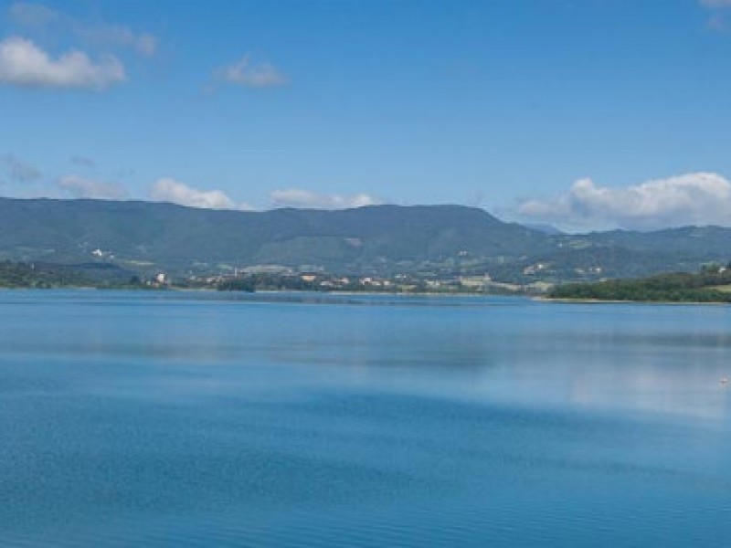
- Difficulty: Easy trail with breathtaking view.
")
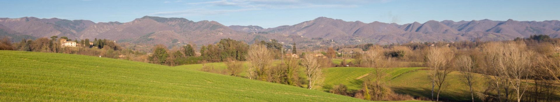
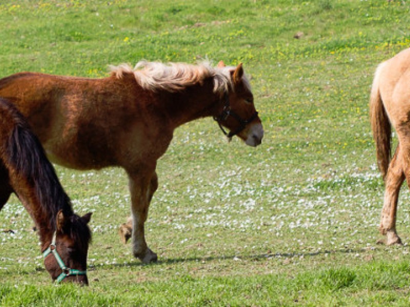
From the station in Ronta, hovering above the town, the trail moves in the direction of Colla di Casaglia. It reaches Madonna dei Tre Fiumi with its beautiful, newly restored sanctuary, and the still functional Margheri watermill.
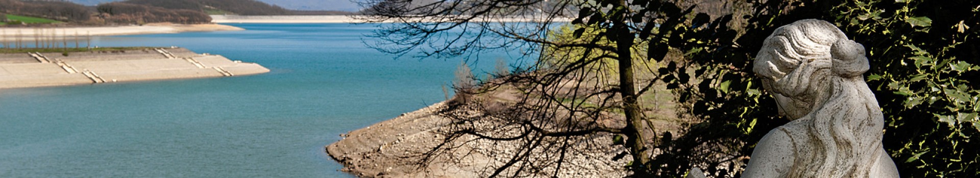
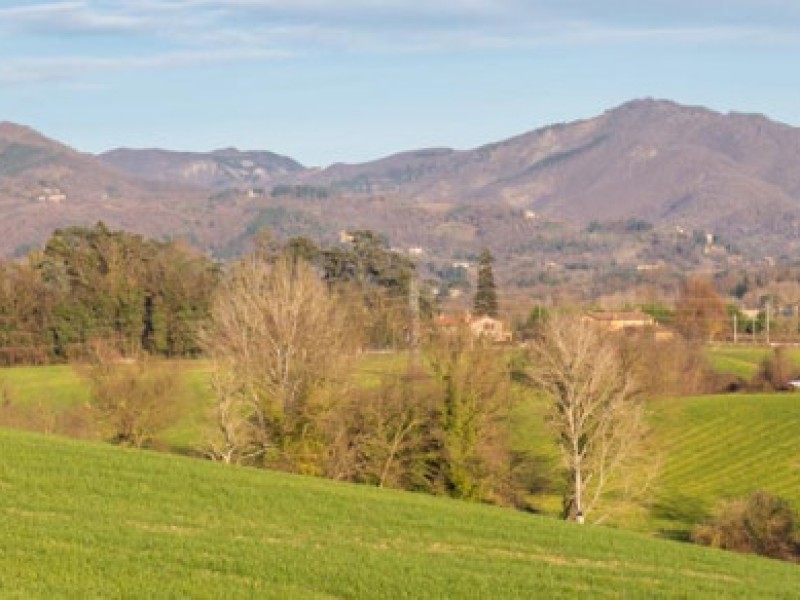
Past the bridge on the right, the Panoramica trail starts out: the road, first paved, and later a dirt road, moves up to the crest providing a breathtaking view of the countryside below.
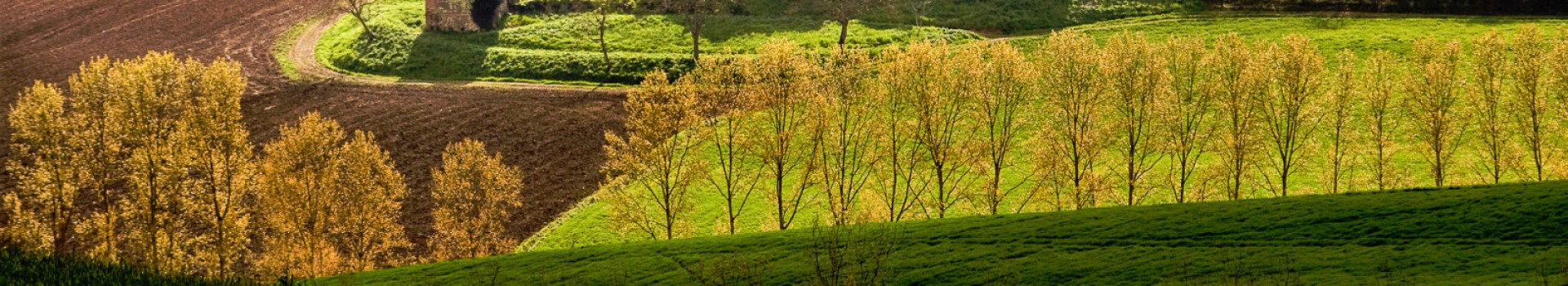
Just past Poggio Paretaio, the road first dips towards the Pesciola spring and then back up the last long uphill climb. At 8.7 km., just as the descent for Gattaia begins, the trail turns right onto a footpath that dips and then climbs, continuing in the vicinity of a farmhouse in the locality called Poggio dei Roti.
Once at the fork in the road, the trail takes the left as far as Villa Farneto. Here the road descends towards the Muccione stream. The dirt road ends and a paved one moves along the ridge for some kilometres, past Pesciola and to state road 551. Once on the state road, the Borgo San Lorenzo station stands on the right and the Vicchio station on the left.


