


- The route:
Sagginale - Arliano - S. Cresci - Case Ghetto - Sagginale (Borgo san Lorenzo) - Distance run: 9.3 km. (alternative route 16.1 km)
- Uphill climb: 320 mt (alternative route 550 m)
- Trails: 6 SOFT, 9 e 9a CAI
- Difficulty: Easy trail with a brief but challenging uphill climb to Uliveta. The alternative route is suggested for skilled cyclists with experience in climbing mountain trails.

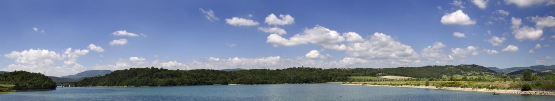
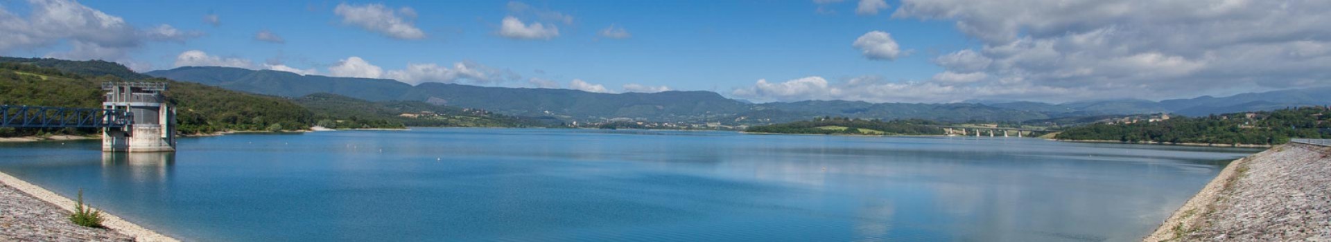
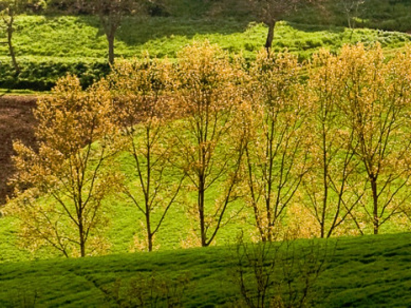
From Sagginale (180 m above sea level) the route runs along the main road towards Vicchio. At about 700 metres, the trail turns right onto a paved road marked by yellow SO.F.T. signs (direction Uliveta). The trail climbs steeply, passes Villa Uliveta and moves onto a dirt road through a wood. Further on, the trail crosses a cultivated stretch of high plane and reaches an isolated farmhouse. It leaves the main road and takes the footpath on the right that runs along the ridge. As it reaches a giant oak wood, it moves left and crosses a field. Once through the gate at the end of the stretch, it runs back onto a steep dirt road that climbs up to the paved road for Arliano (400 m) * The alternative trail, on the left, sets off here and is described later on in the text. The main trail turns right and descends for a few hundred metres and then bends right in the vicinity of Case Mando. The descent is rather steep till Case Fontanelle (336 m) where the trail bends left across Fosso di Corolla. It then climbs up through the wood, leaving the paved road that leads to the remains of the Renaissance palace of Istieto on the right.
The uphill climb becomes more and more difficult, especially near the beautiful Villa la Quiete, which belonged, as the coat of arms confirms, to a branch of the Ubaldini family. A sharp turn on the left takes the trail steeply up to San Cresci (405 m) and directly in front of the narrow tower of the century old church, restored by the Grand Duke Cosimo III in the 18 th century, but originally considerably more ancient. Just before the church, the yellow SO.F.T. trail signs mark a dirt road to the right of the building. This leads to the 18 th century church of San Cerbone , on the left, and continues past a cemetery. As it continues along, the trail forks in three directions. Moving along the central path that dips down towards and across a beautiful chestnut wood, it comes to a dirt road. Straight on along this road, the trail passes Fattoria Piana di Vigna (342 m) and comes to, first, the Oratorio della Madonna delle Febbre, and then Case Ghetto where it turns left and finally reaches the main road that leads back to Sagginale on the right.
Alternative trail for experienced cyclists
")
The trail turns left at the dirt road and immediately comes to a fork in the road. To the right lies Arliano, but the trail moves left and after 700 metres meets Campestri (461 m), which houses a very beautiful and famous villa. Upon reaching the first few houses the trail turns right in the direction of Collefertile (yellow SO.F.T. signs, and red and white CAI signs mark the way), climbing for a bit and then proceeding in a series of ups and downs until Fattoria Belvedere (538 m).
The trail then moves up the steep main road, and at 3.6 km from Campestri, just under the enchanting Villa Cerchiai (680 m), it goes right leaving the dirt road for a marked footpath that moves through a fence and across an area with small trees.
After 400 m, the trail continues along an almost completely invisible path on the right and leads, 300 m further on, to a green pass.
The trail dips left into a wood (some sections of which must be walked through) and arrives at a barren crest. The trail opens up onto a wide dirt path for tractors and, at about 1 kilometre, reaches an important fork in the road.
The trail goes left (marked by the yellow SO.F.T. signs) and reaches Casa Cingano (520 m). The trail becomes a wide dirt road that, quite effortlessly, leads to San Cresci where it meets the main trail.


